|
|
|
|
|
Day 6: Skull Lake to Big Sandy Creek
|
|
Leaving Skull Lake |
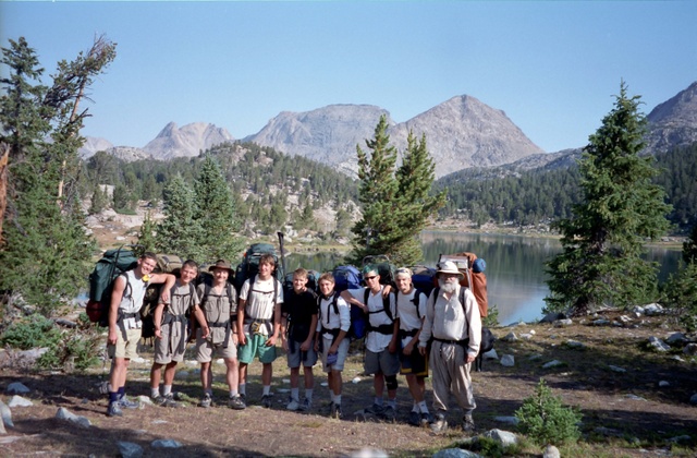
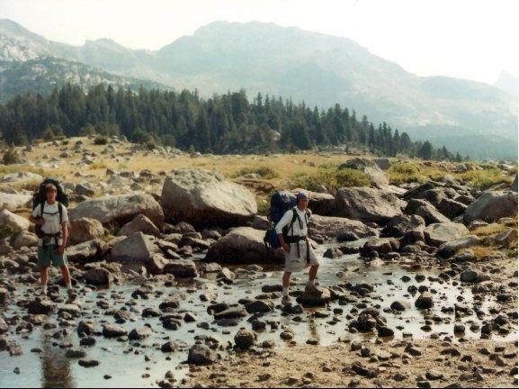
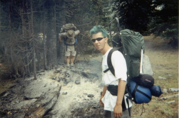
It was another fine day for our last full day in the Wind River’s Bridger Wilderness. We had our breakfast and posed for a group picture before heading out. It was a short climb to a gap where the Washakie Pass Trail joins in (10392’-.3mi.). After the trail junction the trail heads down a ravine to the ford of Washakie Creek (10080’-1.1mi.). There isn’t much water in the creek this time of year, so the crossing was easy.
The next stretch of trail is through open meadows, and a few yards beyond the creek crossing is the junction with the Shadow Lake Trail (10130’-1.2mi).
|
|
Danny & Peter
|
This was the trail we would have come down had we gone over Texas Pass from Lonesome Lake.
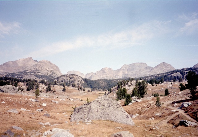
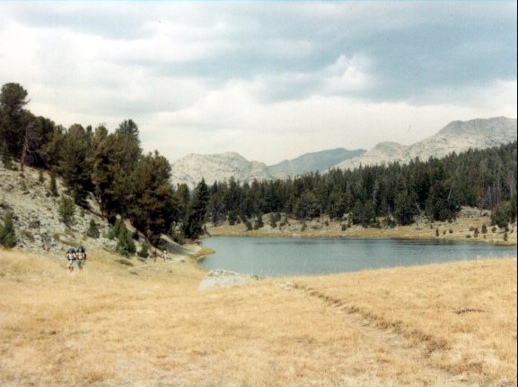
After the trail junction, the trail drops slightly then works its way up a drainage to another small pass (10100’- 2.0mi.). The view to the north (where we had been) is framed by mountains – Mt Geike to the left and Pyramid Peak on the right, with Mt. Bonneville, Tower, and Hooker in between. From the pass it’s a short drop down to Marm’s Lake. The trail skirts a rocky shoreline on the west by swinging west passing a junction with the Fremont Trail (9905’-2.7mi.).
|
|
Looking North Near Washakie Creek |
When the trail nears the lake again (9880’-3.1mi.), we take a break to do some fishing, reading, or card playing, or whatever takes your fancy. For a change the fishing isn’t half bad. Fred gets a couple of fair sized trout. Refreshed and satisfied that the cost of the fishing license was now only about $50 per pound of fish caught we headed out again.
The trail descends another ravine/draw to Dad’s lake. We’re getting used to this now. At the upper end of Dad’s Lake, the trail swings between a couple of knobs and skirts the lake on the eastern side. The lake is not visible until almost the end, when the trail swings back near the lakeshore (9750’-4.3mi.). We take a short break and head on out, on a familiar climb up a draw to a mini pass passing the Donald’s Lake trail on the left (9840’-4.6mi.).
|
|
Mirror Lake |
At the head of the draw is Mirror Lake (9850’-5.0mi.). At the southern end of the lake the trail enters wide open Fish Creek Park. We can see smoke from a forest fire this is located on the next ridge.
There is also a helicopter flying back and forth from Divide Lake to the fire. As we had planned on spending the night at Divide Lake, it looked like a change in plans was necessary. As we watched, another helicopter flew over and landed for a minute at the far side of Fish Creek Park.
We were a little anxious about going on near a forest fire, but we headed out anyway. On the far side of Fish Creek Park where we saw the helicopter land, there was a firefighters camp back in the woods. The Trail through Fish Creek Park is not as shown on the topographic map. It skirts the meadows further to the west and goes up through the trees on the southwest side of the Park.
|
|
Roger & Fred
|
As we emerge from the trees back in the meadows we can see that fire on either side of the meadow. It isn’t very active, a lot of smoke and a few burnt grass spots in the meadow, but you don’t feel very comfortable passing through a fire. Up Ahead we see a few firefighters in the meadow.
It turns out the firefighters are the Honcho’s for the Forest Service. The Leader is a charismatic type who comes over to chat with us as the helicopter continues to make round trips from Divide Lake. He tells us that they are fighting the fire on the west, but allowing it to go north and east as it pleases. High winds are expected the next night so he discourages us from camping at Divide Lake. The second helicopter lands and the boss goes over for a flight to see how the firefighters are doing.
|
|
Firefighter Honcho's Heliocopter
|
After the copter takes off, we head down the trail, entering woods at the end of the meadow. The trail drops gently in the woods as we pass a stash of food and equipment obviously intended for the firefighters. The trail turns to the east and drops to the meadows above Meeks Lake. We rest briefly and go on past the Vee Lake Trail (9310’-8.5mi.) we had gone up our first day. We retraced our route past Meeks Lake and dropped down to the junction with the Big Sandy trail (9100’-9.3mi.).
Even though we were very close to the cars, it was late afternoon, and the guys couldn’t afford another motel room, so we had to find a camp spot. A short ways up the Big Sandy Trail, we see a spot off the trail that is near the creek and adequate for our purposes. As we set up camp a stream of hikers (mostly climbers) pass our camp. We notice that all the climbers have good-looking girl friends. One good looking girl comes by as Buckwheat is changing his pants, and she doesn’t linger long to talk to us. After supper, the usual card game got underway. Jason and Fred were discussing engineering at length. Another fine and exciting day in the Winds.
Days 7 & 8: Big Sandy Creek to the
Trailhead & the Drive Back
We were up before dawn, and foregoing breakfast in camp we were back at the cars (9120’-.6mi) as it was just getting light. Fred was a little ticked off as Shelby had gone down to the car the night before and now the battery was dead. We got everything packed up and the car problem fixed and headed out back down the washboard road.
On the way out we passed a couple herds of antelope. We had also seen a bunch in 1998 on the way to the trailhead. Fred pulled into the Seismological (UFO) investigation station, but no troops in blue hats game out to arrest him. We headed on out to the main road and pulled into Pinedale for breakfast. We found a good place and by chance met our leap frogging couple with the dog in there as well. They had come out the previous day.
The return drive was uneventful. We made it to Ontario in Oregon the first night. Danny and I scouted one side of the street for a motel while Fred tried the other. The first one we tried took one look at Danny and I and said that they were full. Fred tried a little sweet-talk (he also left the kids in the car) and came up with a hard luck story about scouts on a budget, etc. (all true). We got a good deal. He also called up a restaurant and negotiated another deal on dinner. We had a private room and a good meal. Fred treated everyone to a milk shake and we returned to our rooms for the night.
We had an easy but all too familiar drive on the way home. Another great trip was in the books.