|
|
|
|
|
Day 5: Grave Lake to Skull Lake
|
|
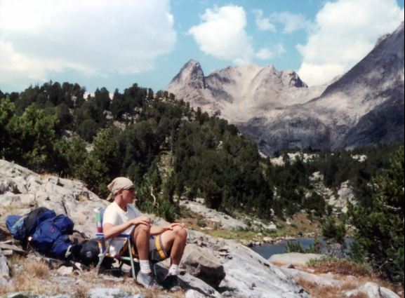
Danny & Guys
|
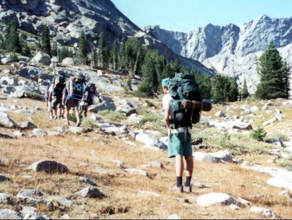
The good thing about being on the eastern side of the Continental Divide is that you usually get the sun much earlier than you do on the western side. Of course, the reverse is true – you lose your sun earlier as it sets behind the Continental Divide peaks.
But the sunshine wards off the early morning chill and it wasn’t long until we hit the trail again. Just before we left, I espied a rather inconspicuous sign on a tree that said "No Camping". We hadn’t had a fire and we camped away from the water so I didn’t feel too bad.
The trail climbs in forest parallel to the Shoshone Creek. It soon breaks out into meadows and comes to the junction of the Baptiste Lake Trail (10300’-.7mi.).
We were heading up to Hailey Pass and didn’t have time to explore Baptiste Lake, so we had to cross Shoshone Creek near the junction. It’s a pretty big stream so some boulder hopping was required. It might be a more difficult crossing earlier in the year or in a wetter year.
| |
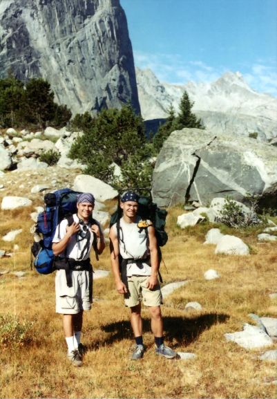
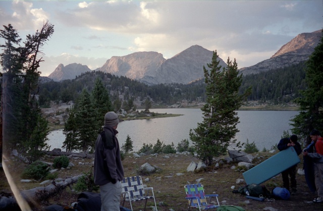
Peter & Jason |
The trail climbs steadily while approaching the awesome face of Mt. Hooker, which we have been seeing since we first got to Grave Lake. This face is really impressive and it looks like you will pass right by it, but the trail is curving around to the left (southwest to south) and enters a basin with a more benign side of Mount Hooker on our right.
As we proceed further up the basin, Hailey Pass comes into view and it looks for all the world like an earth and stone dam that had been thrown up across the valley. We take a break at the foot of the pass among some huge boulders (10700’-1.6mi.)
The guidebook says that Hailey Pass is not recommended for stock, and when you are climbing it you can see why. The trail is steep and eroded, and you wouldn’t want to meet a horse party coming the other way as there is no room to get off the trail.
|
|
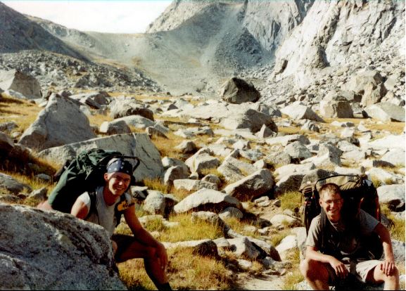
Jason & Shelby |
I was really huffing and puffing as I got to the top, both from the steepness of the climb and the increasing altitude. I put my pack down next to the others and went back to the edge to take some photos and savor the fine view from the pass (11190-2.0mi.)
As we were taking a break, a couple of young women who had been on a side trip up to the ridge came down and started up a conversation.
They were Chemical Engineers who had been in graduate school together- one was working and the other was working on her doctorate. They sort of intimidated our guys, but Fred was in seventh heaven having someone other than yours truly to discuss engineering with. They were pushing ahead to come out at Boulder Creek and had a lot of miles to go.
|
|
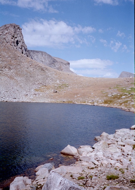
Twin Lakes Below Hailey Pass |
The trail on the western side is more gradual, dropping to Twin Lakes(11080-2.3mi.) where the trail peters out between the two lakes. We made our way around the western shore of the lower lake and climbed up the western side and found the trail again. From here its a clear shot down to the bottom.
The views to the west open up as we edge around Pyramid Mountain past the twin Lakes with Mt. Geike directly across the valley. There are three crossings (10900’-2.7mi., 10670’-2.9mi., & 10500’-3.2mi.) of the creek flowing from the Twin lakes as the trail descends. After the last crossing, the trail levels out and finally joins up with the Pyramid Lake Trail (10360’-3.8mi.), where I find the guys waiting for me.
Just to the north we can see Maes Lake. We decide to go up to the lake and do some fishing and have lunch. If the fishing is good we may stay there for the night. The trail goes on the western side of the lake and we bail out and find a good spot for lunch (10350’-4.2mi.).
|
|
Austin at Maes Lake |
The fishermen get out their rods and reels and try their luck in the lake. Like most of the other lakes on this trip, there are no strikes or even any fish sighted following a lure or jumping. Across the lake we see the couple with the dog that we had been leap-frogging since Jackass Pass also casting a line. They weren’t having any luck either.
Since it was still early in the day, we decided to forge ahead to Skull Lake. We backtracked passed the junction with the Bear’s Ears trail and headed up to a small pass (10420’-4.8mi.) and headed down the ravine to Skull Lake which we could see in the distance.
|
|
|
The trail swings away from the lake on the western side but swings back to cross the outlet stream at the lake. We see a nice campsite in a grove of trees at the southern end of the lake. There is also another good site on the western side of the trail at the edge of the trees. We drop our packs and call it quits for the day (10280’-5.5mi.)
Now that we are on the western side of the Divide, we have sun till the end of the day. A card game is soon underway and Buckwheat and I head down to the lake to try our hands at fly-fishing. The trout are very small, about six inches, but the fishing is the best we’ve had and even little fish are fun when you’re dry fly fishing. All in all it was a good day.